
NASA and ISRO’s NISAR Mission: Mapping Earth in 3D
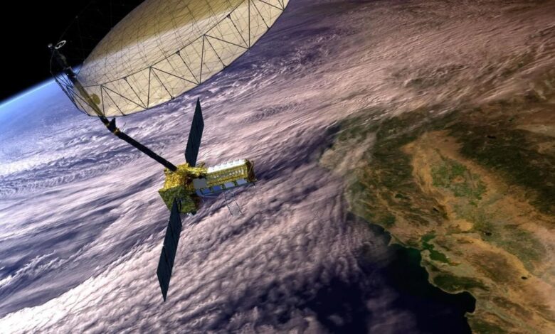
NASA and ISRO (Indian Space Research Organisation) are collaborating on the NISAR (NASA-ISRO Synthetic Aperture Radar) mission, a groundbreaking Earth-observing satellite project. This mission aims to provide unprecedented 3D views of Earth’s land and ice surfaces, detecting even the smallest movements with centimeter-level precision.
The launch is targeted for late July 2025 from ISRO’s Satish Dhawan Space Centre in Sriharikota. A live briefing will be streamed online by NASA’s Jet Propulsion Laboratory (JPL).
Mission Objectives
The primary objective of the NISAR mission is to systematically map the entire globe, focusing on:
- Monitoring changes in land surface.
- Tracking ice sheet dynamics.
- Assessing natural hazards like earthquakes and volcanoes.
- Understanding ecosystem processes.
By collecting and analyzing radar data, NISAR will provide valuable insights into Earth’s changing environment and its impact on human populations.
Collaborative Effort
NISAR represents a significant collaboration between NASA and ISRO. NASA’s JPL is responsible for the L-band radar and key electronics, while ISRO provides the S-band radar, spacecraft bus, and launch vehicle. This joint effort leverages the expertise and resources of both space agencies to achieve ambitious scientific goals.
Advanced Radar Technology
NISAR’s advanced dual-band radar system is the key to its unique capabilities. The satellite is equipped with both L-band and S-band synthetic aperture radars (SAR).
Dual-Band Radar System
The dual-band system enables NISAR to gather data with complementary characteristics:
- L-band radar (25 cm wavelength): Penetrates vegetation and soil, providing information about subsurface features and moisture content.
- S-band radar (10 cm wavelength): More sensitive to surface details, allowing for precise measurements of surface roughness and elevation changes.
The combined data from both radars provides a comprehensive view of Earth’s surface, enabling scientists to monitor a wide range of phenomena.
Applications of NISAR Data
NISAR data will be used in various applications, including:
- Disaster Management: Mapping flood extent, monitoring volcanic activity, and assessing earthquake damage.
- Agriculture: Monitoring crop growth and yield, assessing irrigation needs, and detecting deforestation.
- Climate Change: Tracking ice sheet melt, monitoring permafrost thaw, and assessing changes in vegetation cover.
- Geology: Studying tectonic plate movement, mapping geological structures, and monitoring land subsidence.
Disaster Response
Because radar can see through clouds, it will be invaluable for disaster response, mapping floods and storm damage even during hurricanes or heavy rain. The ability to rapidly assess damage and provide critical information to emergency responders will save lives and reduce economic losses.
| Application | Benefit |
|---|---|
| Earthquake Studies | Map ground deformation before and after earthquakes |
| Volcanic Monitoring | Detect changes in volcano shape and activity levels |
| Flood Mapping | Map the extent of flooding and assess damage even through cloud cover |
NISAR’s data will contribute to a better understanding of our planet and its dynamic processes, aiding in mitigating risks and promoting sustainable development.